top of page
ABOUT
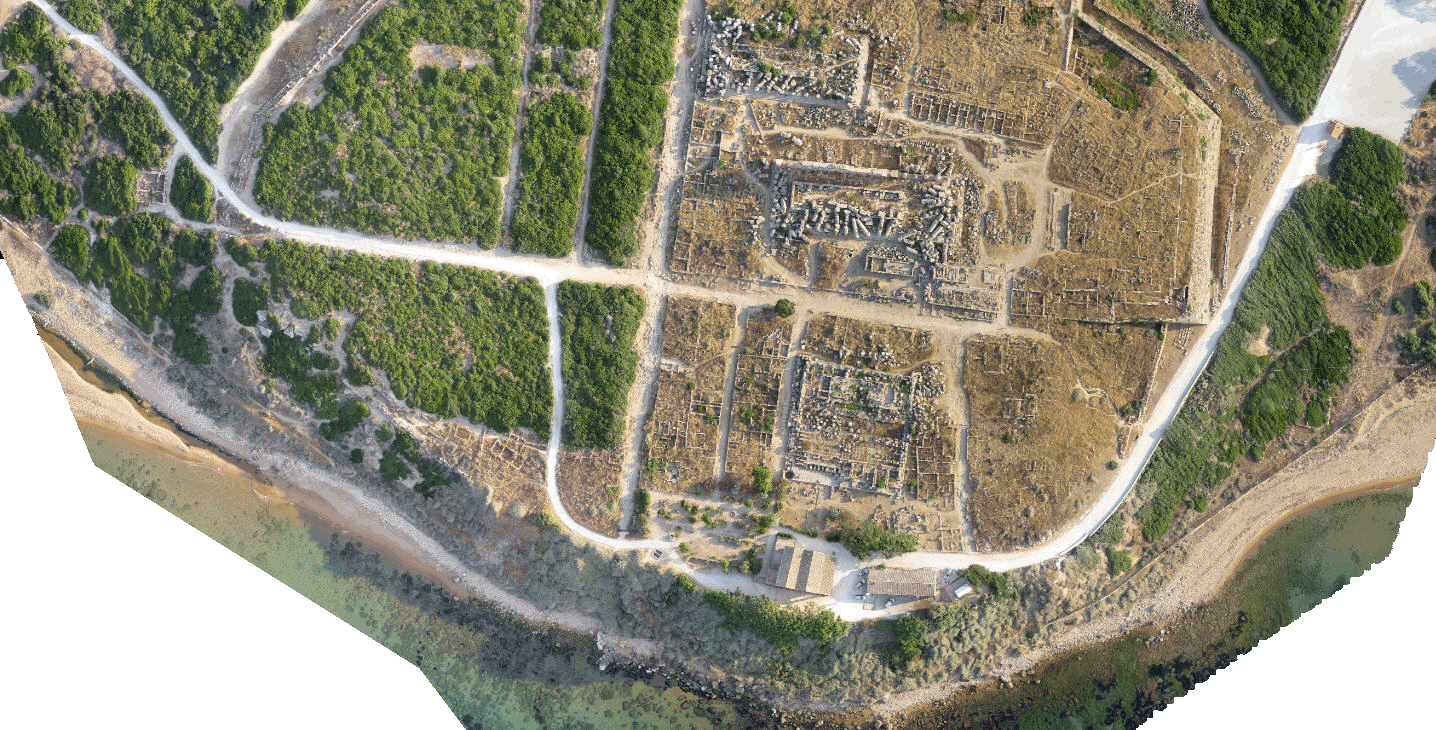
Menci is founded in 1999 and today has become a leading company in Europe in the production of software for photogrammetry, 3D models from images, mapping, digital cartography and related activities.
Specialized in remote sensing, digital photogrammetry, spatial analysis, cartographic production and automated systems, Menci transforms images into metric information. Our mission is to supply high performance solutions for automatic photogrammetric results from images at different scale: from satellite to aerial to uav images to close range.

bottom of page